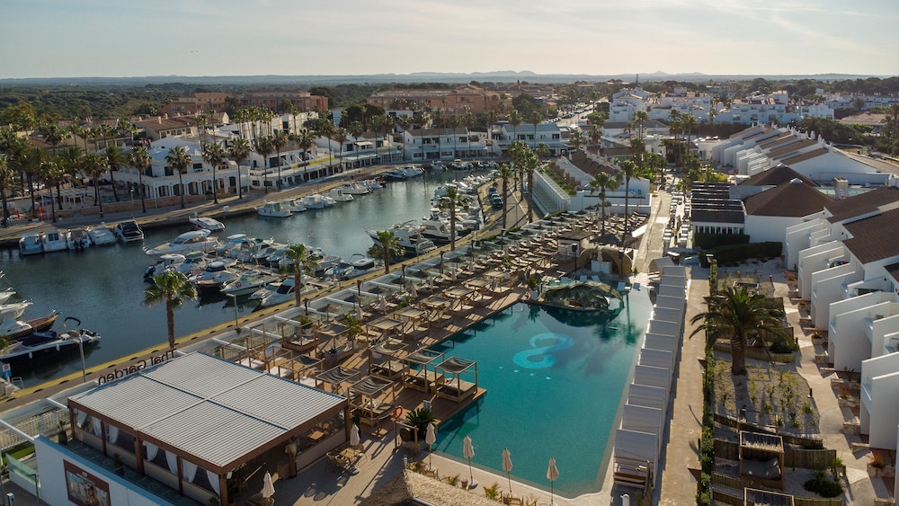


Walk to dinner
Town hotel
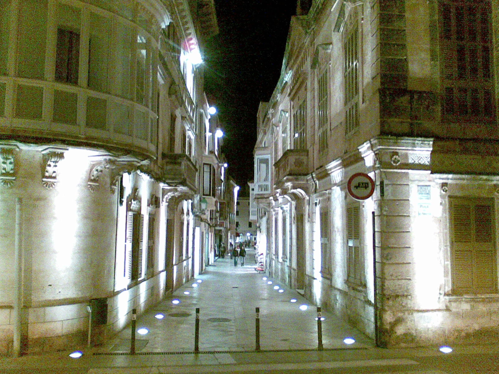
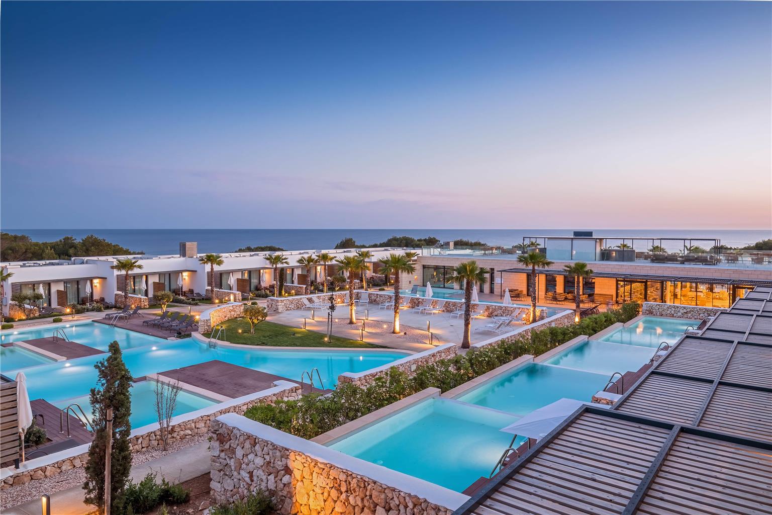
Maó or Ciutadella. Restaurants, the port and buses at the door; the coves are a short ride.
Menorca is about 50 km end to end, and quieter than its neighbours. The north is wild and windy, the south has the white-sand coves, Maó looks east and Ciutadella faces the sunset. Where you stay decides your days.
Sorted by guest rating. Every booking through IMPT funds one tonne of verified CO₂ offset.
Every pin is placed at its true coordinates on Menorca. Choose one for its coast, how far it lies from Menorca Airport, and a photo of the place.
Maó or Ciutadella. Restaurants, the port and buses at the door; the coves are a short ride.
On a bay, from the long sands of Son Bou to the small coves of the north. Pick the coast first.
Agroturismos: working farms and restored country houses, often with their own produce. Quiet nights; plan on a hire car.
Hover or tap a panel. Locals split the island by wind: the rough north and the soft south, with Maó and Ciutadella at either end.
The old bridleway around the whole coast, in twenty stages.
A lagoon, dunes and the core of the Biosphere Reserve.
Turquoise water under pine. Arrive early or by bus.
Dark rock, caves and quiet coves, easiest from the water.
Stone towers and taulas from the island's prehistory.
The cathedral square, the palaces and the narrow port.
A lighthouse on dark slate, inside the natural park.
Visit a farm that makes the island's protected-origin cheese.
Forts, islands and the long natural harbour from the water.
Pick one or more. Areas score one point per match; ties go to the one closer to the airport.
The whole island has been a UNESCO Biosphere Reserve since 1993, and its prehistoric sites joined the World Heritage list in 2023. Here is how to visit them and leave them as you found them.
Talayotic Menorca, a prehistoric landscape listed by UNESCO.
Natural park · AreaThe lagoon at the core of the Biosphere Reserve.
Coastal path · Thing to doAbout 185 km around the whole island.
Green travel · GuideWhat the UNESCO status means, and how to visit lightly.
Sea temperature and sunset are typical mid-month figures, not forecasts. The dot marks the month you are in.
Low season. Quiet, mild and green. The towns stay open; many hotels close.
Low season. Cool, clear days and nearly empty coves. Good walking weather.
Low season. Hotels begin to reopen. Wildflowers along the Camí de Cavalls.
Shoulder. Warm in the sun, cool in the sea. Easter brings the first visitors.
Shoulder. The season opens and the water starts to warm.
High season. The longest days of the year, and the biggest festival.
Peak season. Busy everywhere. Book cars, boats and ferries early.
Peak season. The warmest sea and the busiest month.
High season. The sea is still warm and the coves thin out.
Shoulder. Quieter, still swimmable. The best walking weather returns.
Low season. A locals' island. Check which hotels are open.
Low season. Mild and quiet. Maó and Ciutadella stay open year-round.
Rules and timetables change. Each answer says where to check the current version.
Menorca Airport (MAH) is a few kilometres from Maó. Taxis wait outside arrivals and buses run to Maó and, in season, to other towns; check the island bus operator for current timetables.
For Maó, Ciutadella and the main beaches in summer, buses are enough. For the north, the interior and the smaller coves, a car helps.
In high season, car access to some coves is limited, with shuttle buses from nearby towns. Check current rules with the island council.
Yes. Stays on Menorca carry the Balearic sustainable tourism tax, collected by the hotel per person per night; the rate depends on the type of stay and the season, so check the Govern de les Illes Balears site before you go.
Ferries link Ciutadella with Alcúdia on Mallorca. Check current timetables with the operators.
Most people find it comfortable from June to October, with the warmest water in August.
The Camí de Cavalls (GR 223) runs around the whole coast, about 185 km in 20 stages. Most people walk a section rather than the full route. Stages vary in difficulty and in access to water and transport. Check the Consell Insular de Menorca for route notes and any temporary closures.
Talayotic Menorca joined the World Heritage list in 2023. The sites include talaiots, taules and navetes, the stone monuments of the island's prehistoric communities. The Naveta des Tudons near Ciutadella is a boat-shaped tomb. Many sites are open access, while others have visitor centres and seasonal hours. Check the Consell Insular de Menorca for current arrangements.
The core zone is the S'Albufera des Grau Natural Park, with a lagoon, dunes and the Favàritx cape. The whole island has been a UNESCO Biosphere Reserve since 1993. Walking routes and bird hides are managed by the natural park office. Check current access, seasonal restrictions and opening arrangements before setting out.
Sant Joan in Ciutadella falls around 23 and 24 June, with horses and riders central to the celebrations. It is a local festival rather than a visitor event, and beds and transport fill early. The programme is set each year. Check the Consell Insular de Menorca or the town council before planning.
Photo credits: Nicolas G. Mertens, CC BY-SA 4.0, via Wikimedia Commons.
Menorca's coast in three scenes, ending with sunset at Fornells.
The video opens with a red-sand beach and surf below green hills on the Menorca coast. Next: a beach hotel above a sandy cove with green water in Menorca. It ends with sunset over the bay at Fornells beach.
Video: Raymond Petrik, Angelo Esposito, Agusti Perez on Pexels