


North: the spit
La Savina, the lagoons and the long sand spit of Ses Illetes and Llevant, inside the natural park.
This is the busiest corner by day, and the most protected.
Satellite view with each area pinned at its real coordinates. Hover a pin for its name. The north of the island, around the spit, is a natural park.
The liveliest village, with a beach, boat houses and evening bars.
3.4 km from La Savina · 25 staysThe small capital, with a fortified church, a market and the island's shops.
4.9 km from La Savina · 19 staysA crossroads village between the lagoon and the south coast.
5.3 km from La Savina · 6 staysThe island's one real cove, red cliffs and a west-facing sunset.
7.6 km from La Savina · 38 staysA long, open south-coast beach backed by dunes and juniper.
11.3 km from La Savina · 26 staysA tiny fishing harbour of boat houses below the La Mola plateau.
16.6 km from La Savina · 3 staysA high plateau with a lighthouse, farms and a craft market.
Formentera is two high ends joined by a low middle. The north tapers into a sand spit, the west and south end in a stony cape, and the east rises to the La Mola plateau.
La Savina, the lagoons and the long sand spit of Ses Illetes and Llevant, inside the natural park.
This is the busiest corner by day, and the most protected.
Sant Francesc, the capital, and Sant Ferran sit on the low plain between the lagoons and the south coast.
They are convenient bases with shops and buses.
Cala Saona faces the sunset. To the south, the road runs across stony scrub to the Cap de Barbaria lighthouse.
Platja de Migjorn runs along the south coast for kilometres.
The island rises to a plateau of farms, pine and cliffs, with a lighthouse at the end.
Es Caló, below it, is a tiny harbour of boat houses.
Top-rated stays on Formentera: the first 6 of 199 stays in the IMPT hotel database on Formentera, five-star first, then four-star, then by guest score. Each button opens live prices for your dates in the IMPT app.
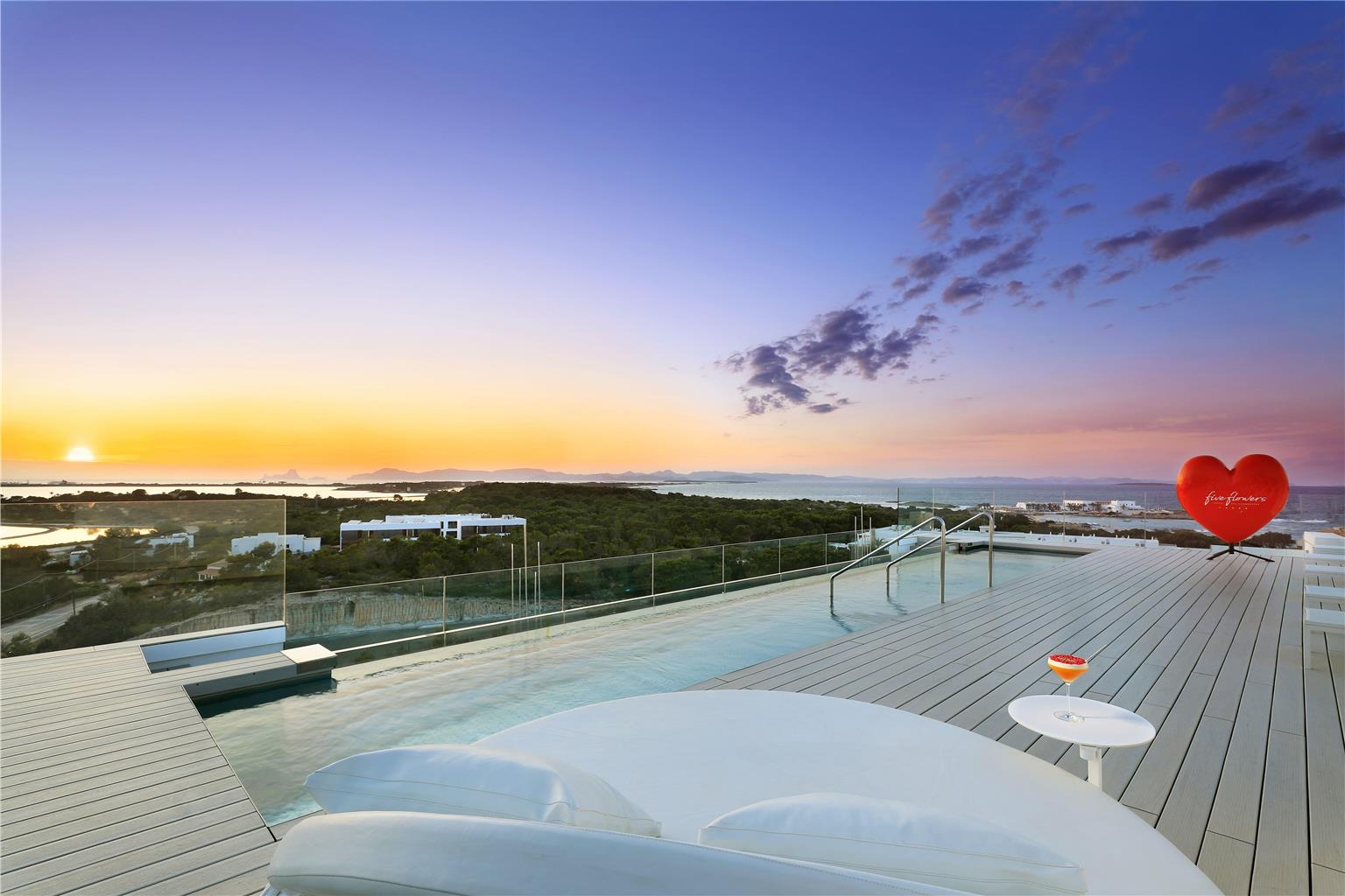 5-star
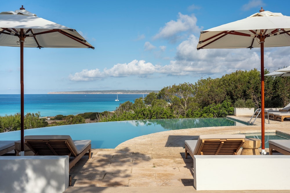 5-star
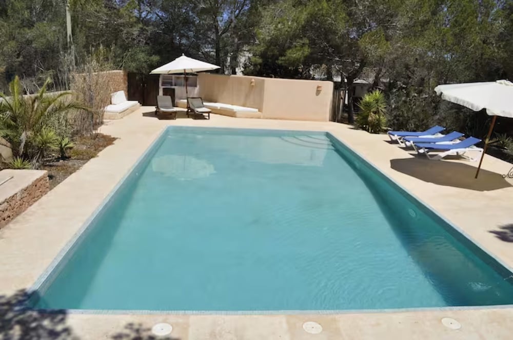 5-star
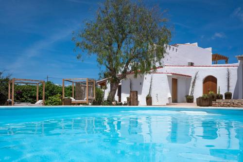 4-star
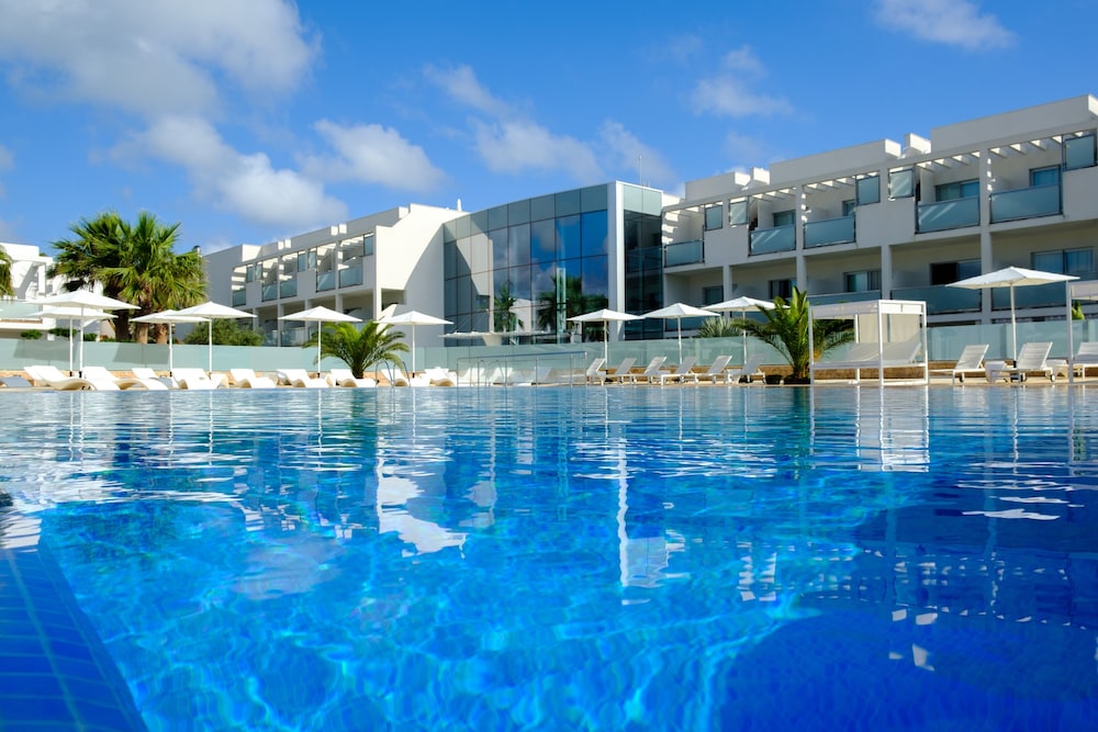 4-star
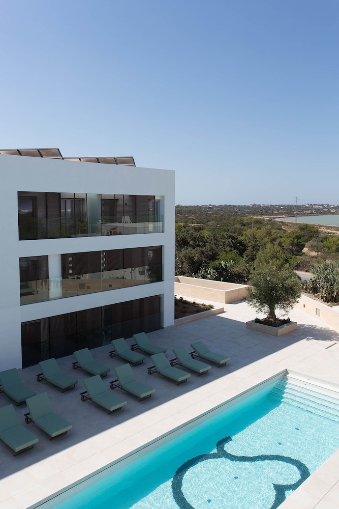 4-star
La Savina itself, then Sant Francesc and Ses Illetes.
Cala Saona, on the west coast.
La Mola and the south coast.
No. They are straight lines from La Savina, computed from published coordinates.
There are very few places to stay inside it. Most people stay nearby and visit by bike.
Sant Francesc Xavier is the capital and the most reliable base outside the main season. Much of the tourism business on Formentera closes roughly from November to April, including many seasonal restaurants, boat trips and vehicle hire. La Savina and Es Pujols are quieter then. Check individual businesses before travelling, and confirm winter ferry sailings with the operators.
The signposted green routes, circuits verds, are waymarked paths and lanes for walking and cycling. They link the villages, the coast and the rural interior, and give a way to explore without a car. In high season the Consell de Formentera caps visitor vehicles, so check current rules and route maps with the council before planning.
La Mola is the eastern plateau, about 190 m high, with the village of El Pilar de la Mola and the Far de la Mola lighthouse. The approach is slow and the landscape open. Walking and cycling routes cross it. Facilities are limited outside the main season, so check opening before relying on cafés or shops.
Ca na Costa is a megalithic tomb near Es Pujols, about 4,000 years old and the oldest known monument on the Pitiusas. It is a short visit, best combined with Es Pujols and the Estany Pudent lagoon. Access is open air; check the natural park office for any seasonal restrictions.
Photo credits: User:Ireireire, CC BY-SA 3.0, via Wikimedia Commons.
Formentera from a drone: white sand, shallow turquoise water and boats at anchor.
Captions are built in; the transcript is on the Formentera page.
Video: Lars H Knudsen on Pexels
