

Walk to dinner
Town hotel
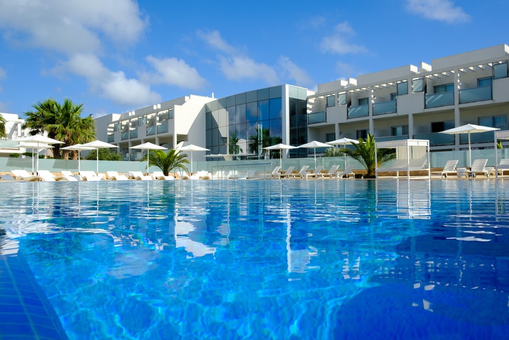
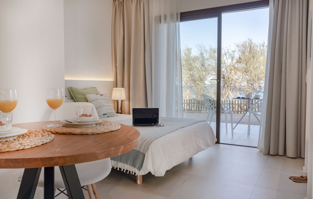
Sant Francesc or Sant Ferran. Shops, cafés and buses at the door; the beaches are a short ride.
Formentera is about 19 km long and has no airport. Everyone arrives by ferry at La Savina, and most people get around by bike. The north is a sand spit in a natural park, the east rises to a plateau, and the south ends at a lighthouse.
Sorted by guest rating. Every booking through IMPT funds one tonne of verified CO₂ offset.
Pins mark each place at its real position on Formentera. Tap one for its side of the island, its distance from La Savina, where the ferry docks, and a photo.
Sant Francesc or Sant Ferran. Shops, cafés and buses at the door; the beaches are a short ride.
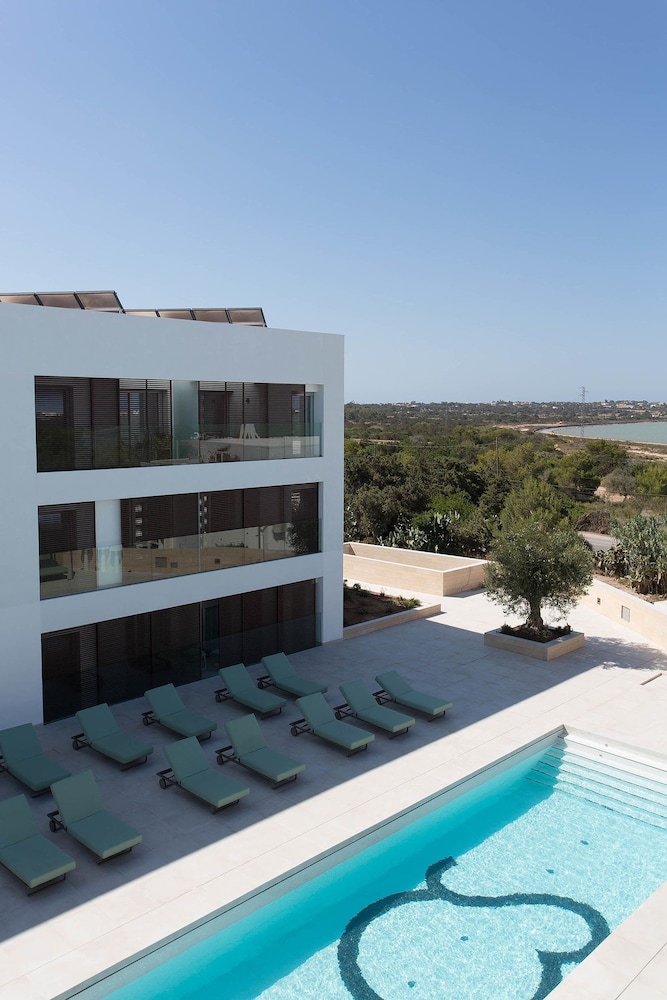
On the sand at Es Pujols, Migjorn or Cala Saona. Pick the coast first.
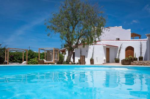
Old farmhouses and small rural stays among stone walls. Quiet nights; plan on a bike or a scooter.
Read them top to bottom. The picture follows whichever coast is in front of you.
La Savina, the lagoons and the long sand finger of Ses Illetes and Llevant, inside the natural park.
La Savina · Ses Illetes · Es PujolsCala Saona, red cliffs and the open sea to the west. The best sunsets on the island.
Cala SaonaPlatja de Migjorn runs for kilometres, and the road south ends at the Barbaria lighthouse.
Migjorn · Cap de BarbariaThe island rises to a plateau of farms and pine, with a lighthouse on the cliffs and boat houses below at Es Caló.
La Mola · Es CalóA lighthouse on a bare cape at the end of the road.
A thin sand spit inside the natural park, with famously clear water. Best before the day boats arrive.
The meadows that keep the water clear. Look, don't anchor.
Signposted tracks across farmland, pine and salt flats.
Cliffs, pine and a lighthouse on the plateau.
Crafts and local produce on the plateau, in season.
Wooden slipways and fishing boats in a tiny harbour.
Red cliffs, a sandy cove and an open view west.
Estany Pudent and the salt pans, inside the natural park.
Pick one or more. Areas score one point per match; ties go to the one closer to the airport.
The north is part of the Ses Salines Natural Park, and the posidonia meadows around the island are part of a UNESCO World Heritage site. Here is how to visit them and leave them as you found them.
A species found only here and on Ibiza.
Natural park · AreaA sand spit inside the natural park.
Nature · Thing to doA lighthouse at the end of the road.
Green travel · GuideBikes, green routes, posidonia and water.
Sea temperature and sunset are typical mid-month figures, not forecasts. The dot marks the month you are in.
Low season. Quiet and mild. Many places close; the villages stay open.
Low season. Cool, bright days and empty beaches. Good cycling weather.
Low season. Hotels begin to reopen. Wildflowers along the green routes.
Shoulder. Warm in the sun, cool in the sea. Ferries get busier.
Shoulder. The season opens and the water starts to warm.
High season. The longest days of the year. The sea warms fast.
Peak season. Busy everywhere. Book ferries and bikes early.
Peak season. The warmest sea and the busiest month.
High season. The sea is still warm and the day boats thin out.
Shoulder. Quieter, still swimmable. Clear light for photographs.
Low season. A locals' island. Check which places are open.
Low season. Mild and quiet. Sant Francesc stays open year-round.
Rules and timetables change. Each answer says where to check the current version.
Vehicle access to the spit is controlled in summer, with a fee and limited parking. Cycling is easier.
Yes. The Balearic sustainable tourism tax is charged per person per night by your accommodation; check the Balearic government site for current rates.
It shows you a beach. A night or two shows you the island after the day boats leave.
Most people find it comfortable from June to October, with the warmest water in August.
Sant Francesc Xavier is the capital and stays open year-round. Its centre is built around the fortified 18th-century church, which was raised as a refuge and still anchors the village. The surrounding streets hold the island council, small shops and cafés that serve residents outside the season. It is a practical base for buses and a calm place to start a walk. Check the Consell de Formentera for current opening times.
Formentera is small and mostly flat, about 19 km long, and signposted green routes (circuits verds) link beaches, villages and the lighthouses. Walking and cycling are practical ways to cross the island, though summer heat and exposed stretches demand water and early starts. Bicycles can be hired in the main villages, and many businesses close roughly November to April. Check the Consell de Formentera for route maps and current conditions.
Posidonia oceanica is a flowering seagrass found only in the Mediterranean. The meadows between Ibiza and Formentera are part of the UNESCO World Heritage listing, and they clear the water and help hold the sand in place. Anchoring over the meadows is regulated under a Balearic decree, with mooring buoys installed in some bays in summer. Check the Balearic government and the Consell de Formentera before dropping anchor.
La Mola is a plateau in the east, about 190 m high, with the Far de la Mola lighthouse at its edge. Cap de Barbaria is the southern cape, also marked by a lighthouse, with open, wind-shaped ground and little shade. Both are exposed places to walk, so carry water and check the weather. Access roads are narrow in places; check the Consell de Formentera for current conditions.
Formentera from a drone: white sand, shallow turquoise water and boats at anchor.
The video opens with aerial view of a long white-sand beach and turquoise shallows with anchored boats. It ends with aerial view of a long white-sand beach and turquoise shallows with anchored boats.
Video: Lars H Knudsen on Pexels