
Walk to dinner
Town hotel
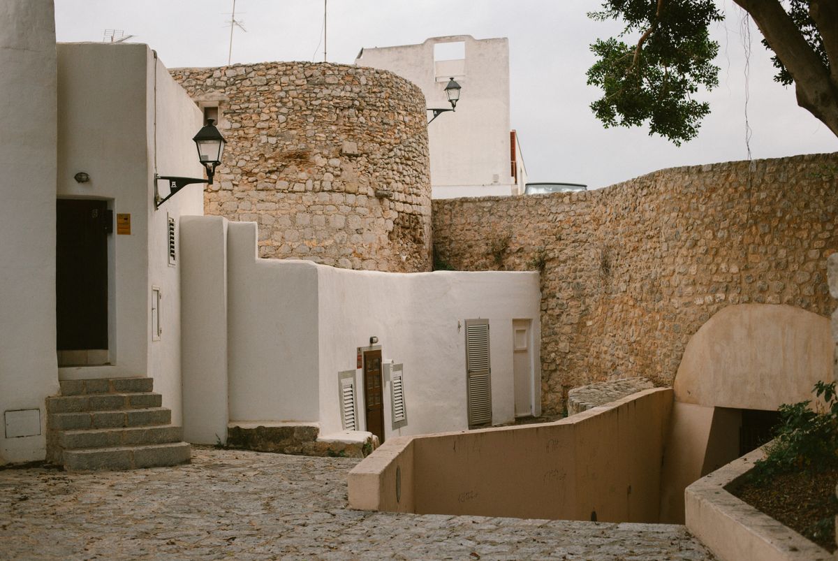
Ibiza Town or Santa Eulària. Restaurants, the port and buses at the door; the beach is a short ride.
Ibiza is about 40 km end to end, but each coast keeps different hours. The west faces the sunset, the south keeps the clubs, the north goes to bed early. Where you stay decides your evenings.
Five-star first, then four-star, then by guest score, from the IMPT hotel database. Every booking through IMPT funds one tonne of verified CO₂ offset. All stays on Ibiza →
Each pin sits at its real latitude and longitude. Pick one to see its coast, its distance from the airport, and what it looks like.
Ibiza Town or Santa Eulària. Restaurants, the port and buses at the door; the beach is a short ride.
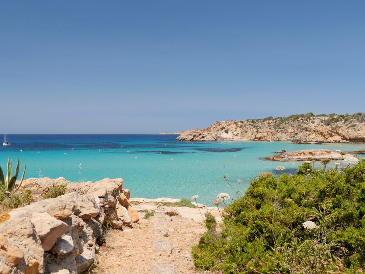
On a bay, from the big strands of the south to the small calas of the north. Pick the coast first.
Restored farmhouses in the interior, often with a pool and an orchard. Quiet nights; plan on a hire car.
Read them top to bottom. The picture follows whichever coast is in front of you.
Sant Antoni bay, Cala Comte and Cala d'Hort face the evening sun. People gather on the rocks well before it drops.
Sant Antoni · Cala Comte · Cala d'HortPlaya d'en Bossa, the airport and the clubs, beside the salt pans and dunes of Ses Salines Natural Park.
Ibiza Town · d'en Bossa · Ses SalinesSunrise over the water, calm family beaches and the hippy markets. Evenings are slower here.
Santa Eulària · Es CanarSmaller bays, cliffs and pine forest down to the water. The greenest corner, and the furthest from the airport.
Portinatx · Cala Sant VicentA protected rock islet off the south-west coast. Boats circle; nobody lands.
Juniper, salt pans and a watchtower at the southern tip, inside a natural park.
The seagrass meadows that keep the water clear. Look, don't anchor.
Shallow water and an open line to the west. Arrive early for a spot.
Small bays under pine, reached most easily from the water.
Renaissance ramparts around the old town, part of the UNESCO listing.
A short climb to a watchtower facing Es Vedrà.
Stalls under the pines at Es Canar, a tradition since the 1970s.
A pine-forest walk to the island's highest point, about 475 metres up.
Pick one or more. Areas score one point per match; ties go to the one closer to the airport.
Seagrass meadows, salt pans, dunes and cliffs are protected, and some are part of the UNESCO site listed in 1999. Here is how to visit them and leave them as you found them.
Why the water is clear, and why anchors are the problem.
Natural park · AreaSalt pans, flamingos and juniper at the southern tip.
Reserve · Thing to doBoats circle it; nobody lands.
Green travel · GuideWater, parks, buses and the tourist tax.
Sea temperature and sunset are typical mid-month figures, not forecasts. The dot marks the month you are in.
Low season. Quiet, mild and green. Many hotels close; the towns stay open.
Low season. Almond blossom in the inland valleys, and nearly empty calas.
Low season. Hotels begin to reopen. Good walking weather along the coast paths.
Shoulder. Warm in the sun, cool in the sea. Easter brings the first visitors.
Shoulder. The season opens. Beach restaurants are back and the water starts to warm.
High season. The longest days and the latest sunsets of the year.
Peak season. Busy everywhere. Book cars, boats and ferries early.
Peak season. The warmest sea and the busiest month.
High season. The sea is still warm and the beaches thin out.
Shoulder. Closing parties, then a quieter island. Still swimmable.
Low season. A locals' island. Check which hotels are open.
Low season. Mild and quiet. Ibiza Town and Santa Eulària stay open year-round.
Rules and timetables change. Each answer says where to check the current version.
Ibiza Airport (IBZ) is about 7 km from Ibiza Town. Taxis wait outside arrivals and buses run to the main towns; check the island bus operator for current timetables.
For Ibiza Town, Sant Antoni and the south, buses and taxis are enough. For fincas, the north, and the smaller calas, a hire car makes life easier.
Yes. The Balearic sustainable tourism tax is charged per person per night and varies by stay type and season. Your hotel collects it; check the Balearic government site for current rates.
Fast ferries leave Ibiza Town port for La Savina several times a day in season, taking about 30 minutes. Fewer sailings run in winter.
Most people find it comfortable from June to October, with the warmest water in August and September.
The listing, made in 1999 as Ibiza, Biodiversity and Culture, covers the posidonia meadows and coastal ecosystems between Ibiza and Formentera, the fortified upper town of Dalt Vila, the Phoenician settlement of Sa Caleta and the Phoenician-Punic necropolis of Puig des Molins. These are separate sites, so seeing the listing means visiting more than one place.
Ses Salines Natural Park covers the south of Ibiza, the north of Formentera and the sea between them. It was declared a natural park in 2001 and is a Ramsar-listed wetland where salt is still harvested. The park protects posidonia meadows and the salt pans, so access and anchoring are regulated. Check current rules with the natural park office.
No. Es Vedrà is a limestone islet off the south-west coast, about 380 m high, and has been a nature reserve with Es Vedranell and the western islets since 2002. Landing is not allowed. The usual way to see it is from the coast around Cala d'Hort, Cap Llentrisca and the Sa Talaia natural park, where the islet frames the view.
Punta Arabí at Es Canar runs on Wednesdays in season. Las Dalias at Sant Carles runs on Saturdays, with current days to check as schedules change. Both are seasonal, and many stalls and nearby businesses close roughly from November to April. Check the market's own listings before travelling, especially outside the main summer months.
Ibiza has five municipalities: Eivissa, Sant Josep de sa Talaia, Sant Antoni de Portmany, Santa Eulària des Riu and Sant Joan de Labritja. The island is about 572 km² and roughly 40 km end to end. The municipality names are usually signed in Catalan, so Eivissa is the same town often called Ibiza Town in English.
Half a minute of Ibiza, from the old town of Dalt Vila to the coves and headlands of the coast.
The video opens with botafoc lighthouse at the entrance to Ibiza harbour. Next: the Renaissance walls of Dalt Vila, Ibiza Town's old town, under a clear sky. Next: dalt Vila with Ibiza Cathedral's bell tower above the sea. Next: ibiza Town's white houses with the harbour behind. Next: a pine-covered bay with a sandy beach on the Ibiza coast. Next: clear water over the rocky shore at Cala Salada. It ends with a pine-covered rocky headland on the Ibiza coastline.
Video: JUAN CARLOS NAVALON SANCHEZ, Steven HAuse, Haseeb Ahmad, Josh Tavernier, Boris Ivas, Luca Musella on Pexels