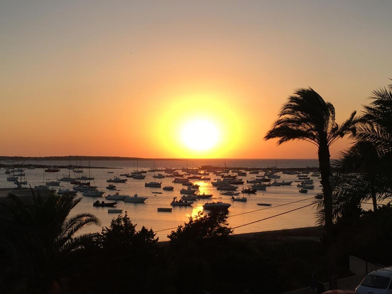
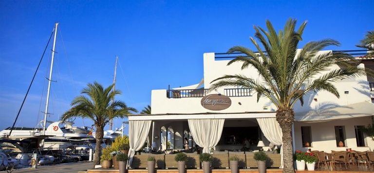
A narrow finger of sand running north towards Ibiza, with water so clear the boats seem to float in air. It sits inside a natural park.
3.2 kmfrom La Savina port, straight line
Natural parkSes Salines
UNESCOposidonia meadows
Ses Illetes is the image most people have of Formentera. It is also one of the most protected places on the island, and visiting well means arriving lightly.
01
The spit in two minutes
North of La Savina, the island narrows into a sand spit called Es Trucador, with Ses Illetes on its west side and Llevant on its east. At the tip, a shallow channel separates it from the islet of s'Espalmador.
The whole area is part of the Ses Salines Natural Park, which also covers the south of Ibiza and the sea between them.
Distancecomputed from coordinates, a straight line from La Savina.
BeachesSes Illetes on the west, Llevant on the east.
ProtectionNatural park, with UNESCO-listed posidonia offshore.
02
Getting there
From La Savina, it is a short, flat ride by bike along the road past the lagoons. Buses run in season.
Vehicle access to the spit is controlled in summer, with a fee and limited parking. Cycling avoids both.
Check before you goAccess rules and fees for the spit change by season. Check with the natural park or the island council.
03
The water and the meadows
The clarity comes from the posidonia meadows offshore, which trap sediment and keep the seabed stable. On calm days you can see the bottom from the beach.
Boats anchor in the bay in summer; mooring buoys are installed to protect the meadows.
The rocky shore and clear water at Ses Illetes.
On a calm day the boats look as if they are floating on air.
04
The dunes
The spit is held together by dunes and their plants. Boardwalks cross them to the beach; using them protects the plants and the sand.
Posidonia leaves wash up in autumn and protect the beach in winter storms. Leave them where they lie.
Protect itUse the boardwalks, keep off the dunes, and carry out all rubbish.
05
Where to stay
There are very few places to stay on the spit itself. La Savina, Es Pujols and Sant Francesc are all a short ride away.
Staying close means you can arrive early, before the day boats from Ibiza.
06
When to go
June and September have warm water and fewer people than July and August. Early mornings are quietest all summer.
Out of season the spit is almost empty and the light is softer.
07
Espalmador and the channel
Past the last strip of sand the beach ends at a shallow channel, and beyond it lies Espalmador, a low islet of sand and scrub inside the same natural park. The water between is often knee-deep, which makes the crossing look simple. It is not always so: the tide runs through, the bottom shifts, and the seagrass is easily damaged by feet and fins. Watch the water before wading, choose the widest shallow line, and keep children close.
Espalmador has no facilities, no shade and no fresh water, and it is not a place to be caught out. Parts of the islet are closed to protect nesting birds, and the rules on landing change with the season. Check with the natural park office before setting out, and treat any marker post as a boundary rather than a suggestion. There is nothing to buy and nothing to shelter behind. For most visitors the view from the channel is enough.
Turn around at the channel and the shape of Ses Illetes becomes clear: a narrow ridge of sand with water on both sides, the salt pans behind and the low line of Ibiza on the horizon. Late afternoon softens the light and the colours flatten out. Boats cross the gap all day, and the water shows their wakes long after they pass. It is worth stopping here rather than pushing on, because the view explains the place better than any description.
08
Salt, birds and the lagoon
Behind the beach the land flattens into salt pans and the shallow lagoon of Estany Pudent, all of it inside the same protected area. Salt has been harvested here for centuries and still is, in a slow cycle of flooding, drying and raking. The pans are a working landscape rather than a view: low walls, sluices, basins at different depths, and salt-tolerant plants along the margins. Nothing here is decorative; everything has a job.
The lagoon and the pans sit on migration routes, and birds are the reason many people walk this side of the island. Keep to the tracks, use binoculars rather than feet, and go early, when the light is low and the wind has not yet picked up. What is there depends on the season and the water level, so arrive without a list of species to tick off. A quiet hour at the edge often gives more than a long walk around.
Between Es Pujols and the beach the signposted green routes make a flat circuit for walking or cycling, with the lagoon on one side and the sea on the other. Near Es Pujols stands Ca na Costa, a megalithic tomb about 4,000 years old and the oldest known monument on the Pitiusas. The stone is modest, set low in the ground and easy to miss if you pass quickly, and it corrects the idea that the island's story begins with tourism.
Platja de ses Illetes, Formentera09
Leaving the sand as you found it
Ses Illetes is narrow, low and almost entirely without shade. The wind that keeps the heat bearable also lifts sand and dries skin faster than expected. Carry more water than seems necessary, take a hat, and plan the middle of the day away from the beach. The surface is sand, and there is little to sit on or shelter behind once you are out on the spit. Sunburn here arrives with a breeze behind it.
Boats come close inshore, and anchoring is the pressure point. The meadows of Posidonia oceanica that keep the water clear are protected by a Balearic decree, and mooring buoys are installed in some bays in summer. Where a buoy is offered, use it. Where there is none, do not drop an anchor over seagrass; find sand or move on. The Consell de Formentera and the natural park office publish the rules in force, and anchor scars show as pale bare patches.
What goes home should be photographs. Shells, sand and pebbles stay where they are, because the beach is a working system rather than a souvenir stall. Keep to the paths worn through the vegetation, take litter off the island with you, and expect services to be seasonal: many businesses close roughly from November to April, and the beach is barer and quieter then. Check current arrangements with the Consell de Formentera before relying on anything.
Where to wake up
Stays near Ses Illetes
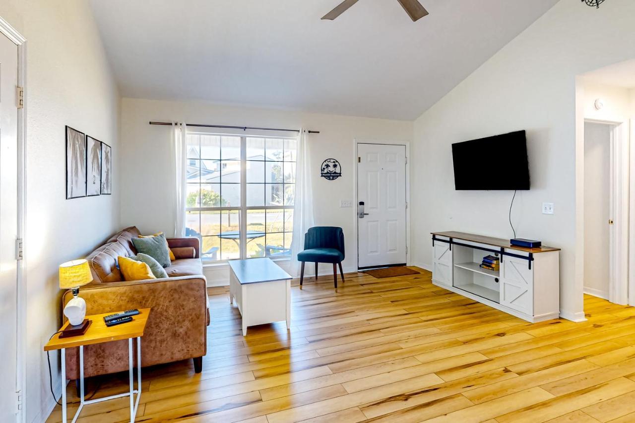
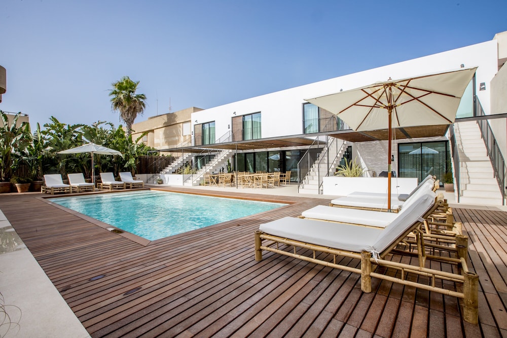
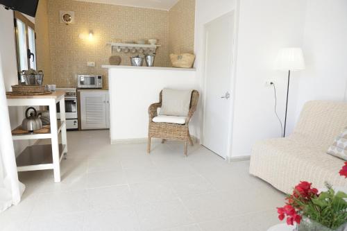
Stays near Ses Illetes: the first 6 of 24 stays in the IMPT hotel database in or close to La Savina, the nearest area to Ses Illetes, five-star first, then four-star, then by guest score. Each button opens live prices for your dates in the IMPT app.
Vehicle access is controlled in summer, with a fee. Cycling is easier.
Can I walk to s'Espalmador?
The channel is shallow, but currents and boat traffic make it risky. Check local guidance.
When is it quietest (Ses Illetes)?
Early morning, and outside July and August.
Why is the water so clear?
Mainly because of the posidonia meadows offshore.
Can boats anchor off Ses Illetes?
Anchoring over Posidonia meadows is regulated under a Balearic decree. Mooring buoys are installed in some bays in summer. Use marked buoys where available and follow the natural park office and Balearic government rules. The meadows are part of the UNESCO site between Ibiza and Formentera. Check current anchoring rules before setting out.
What is there to see around Ses Illetes besides the beach?
Ses Illetes lies within Ses Salines Natural Park. The park includes salt pans, the Estany Pudent and Estany des Peix lagoons, and the sea between Ibiza and Formentera. Salt is still harvested. Walking and cycling routes are signposted. Stay on marked paths and check park information for seasonal restrictions.
How does the summer vehicle limit affect a visit to Ses Illetes?
The Consell de Formentera caps visitor vehicles in high season. The limit can affect cars brought over or hired on the island, and access to the Ses Salines area may be controlled. Check the council's current rules before travelling. Walking and cycling on signposted green routes avoid the issue.
What happens at Ses Illetes outside the main season?
The beach is public and remains open, but many tourism businesses on Formentera close roughly from November to April. Facilities and transport are fewer, and ferries from Ibiza run less often. Check current ferry timetables and the Consell de Formentera for access and services before a winter visit.